The Capes of Shikoku
Home » The Capes of Shikoku
The Capes of Shikoku
Shikoku is a very irregularly shaped island, with various peninsulas that protrude into the sea in all directions. These peninsulas terminate in what are called capes, or misaki in Japanese. Since time immemorial, these ‘ends of the earth’ have been the object of travellers, offering solitude, extraordinary views, and a sense of the numinous.
We’ll start at the northeastern cape and go around Shikoku clockwise.
Cape Takei Kannon
Name in Japanese: 竹居観音岬
Pronunciation: takei kannon misaki
Although not actually the northernmost point of Shikoku, Takei Kannon Misaki has traditionally been given that honour. The cape to the west is in fact more northerly. Located in the town of Aji at the end of the Aji Peninsula in Takamatsu, Kagawa Prefecture, it’s part of the Setonaikai National Park. It offers views of Shodoshima, Teshima and the other islands of the eastern Inland Sea.
There’s a Buddhist temple to Takei Kannon here. It belongs to the Tendai sect which also venerates Shinto gods, so there are many torii too. The temple was founded by Ikoma Chikamasa when he built Takamatsu Castle. Traditionally, Japanese have believed that there’s a gate to the netherworld in the northeast through which evil spirits can enter the world, and so temples have typically been built to the northeast of castles to offer spiritual as well as physical protection. Within the temple are paths built among the rocks and pines. The main hall of the temple is a dark cave inside the rock.
Before the Shikoku Pilgrimage was established, this was a sacred site of the Yamabushi, ascetics of the Shugendo sect who practised austerities around the rugged coasts of Shikoku. Once the pilgrimage was established, this temple became the Okunoin of Temple 85, Yakuri-ji, which stands on the mountain on the peninsula. The dramatic scenery of the Inland Sea, and the sacred atmosphere of the temple are sure to make an impression.
Cape Gamoda
Name in Japanese: 蒲生田岬
Pronunciation: gamoda misaki
Cape Gamoda is the easternmost cape of Shikoku that protrudes into the Kii Channel of the Seto Inland Sea. Located in Tsubaki-cho, Anan, Tokushima Prefecture, it’s part of the Muroto-Anan Kaigan Quasi-National Park. From the air it looks like the prongs of a cheese knife. Cape Gamoda is the longer, lower prong, and the bay between them is a very pretty stretch of water, like a fjord.
As the easternmost point of Shikoku, residents of the island who care for such things visit here on New Year’s morning to greet the first sun of the year. At the tip of the peninsula is a small hill cloaked in windswept trees and topped with a lighthouse. From here you can see Awaji Island and the expanse of the Kii Channel which opens into the Pacific.
Loggerhead turtles visit the cape and the many small islands around it to lay their eggs, and beneath the sea, corals grow on the shelving seabed.
Near the end of the cape is an onsen with a nice restaurant serving local seafood.
Cape Muroto
Name in Japanese: 室戸岬
Pronunciation: muroto misaki
From Cape Gamoda, the coastline of Shikoku sweeps southward down the Muroto Peninsula, coming to a sharp point at Cape Muroto. This area has a primaeval atmosphere – from a coastline jumbled with up-thrusting larva rocks, steep wooded slopes rise sharply up to a flat tableland reminiscent of the Lost World. The fascinating geology of the area and the unique fauna and flora that make it their home led to the selection of Muroto as a Geopark. A footpath wends its way among the rocks.
Muroto also has a rich spiritual history. The priest Mao found enlightenment in the Mikurodo cave near the cape and changed his name to Kukai – Sea and Sky – which is all he could see from his shelter. Above the cape on the tableland stands Hotsumisaki-ji, temple No. 24 on the Shikoku Pilgrimage, which Kukai founded. A short walk down towards the cape from the temple is a lighthouse built in the Meiji period. First illuminated in 1899, it boasts the highest effective luminosity and light reach in Japan.
Cape Muroto is famous for being directly in the path of typhoons heading into the Kinki region, and when a typhoon approaches, TV news always shows the sea raging off the cape. On sunny days, it’s hard to imagine the transformation from the tranquil scene to the crashing waves and plumes of spray that typhoons bring. The houses of Kiragawa on the peninsula are specially designed to withstand the battering of typhoon-force winds.
Cape Ashizuri
Name in Japanese: 足摺岬
Pronunciation: ashizuri misaki
The southern boundary of Kochi Prefecture describes a huge arc extending from Cape Muroto in the east to Cape Ashizuri in the west. Ashizuri is the southernmost point of Shikoku. It’s designated the Ashizuri Uwakai National Park.
A ten-minute walk on the promenade takes you from the car park to the tip of the cape. The observation deck here has a panoramic view of the Pacific Ocean and the scenery is spectacular. You can see the curvature of the earth and sometimes the dark line in the sea that marks the Kuroshio Current. There’s a lighthouse built in 1960, shaped like a rocket to honour the space program which was then getting started.
In the car park, there’s a big statue of Nakahama Manjiro, also known as John Manjiro, and a tourist information centre. There are several walking trails along the cliffs surrounding the cape where you can see many subtropical plants.
Close to this cape too is a pilgrimage temple, Kongofuku-ji, No. 38. In the Middle Ages it was believed that the Buddhist Pure Land was located on Mt. Fudaraku on an island in the southern ocean. Believers would travel as far south by land as was possible, then set sail in simple boats outfitted with a closed cabin and torii gates on every side. Fishing boats would tow them out and leave them to drift south with the current. Needless to say, none ended up in the Pure Land. The origins of the Shikoku Pilgrimage are tied into beliefs of this sort. One of the promontories of the cape is called Tengu no Hana. The name ‘tengu’ is associated with Shugendo practitioners who once practised austerities here.
On clear nights, the observation deck here is a great place to see the stars, and hotels in Ashizuri offer short stargazing tours.
The Tosashimizu peninsula leading to the cape is the site of a fascinating rock formation called Tojindaba, which is worth a visit if you’re in the area.
Cape Sada
Name in Japanese: 佐田岬
Pronunciation: sadamisaki
From Ashizuri northwards the Uwa Sea forms the eastern entrance to the Inland Sea. Jutting out like a sawblade from Ehime, the Sadamisaki Peninsula reaches nearly to Kyushu. At its tip is Cape Sada, the westernmost cape of Shikoku. It’s part of the Setonaikai National Park.
From Cape Sada, you can see the island of Kyushu across the Hoyo Strait. This is the closest point to Kyushu on Shikoku island. It’s a key point for maritime traffic, but there are many rocky reefs in the vicinity making it hazardous.
Cape Sada Lighthouse stands at the tip. There’s a car park with about ten spaces at the entrance to the park. From here, a promenade winds up and down through windblown trees to the lighthouse. It takes about twenty minutes to get to the cape.
To the side of the cape itself is a small island, believed to be the home of a deity who protects sailors. It was the object of sincere worship in the Edo period. From 1924 to 1945, a gun battery was installed on the island to prevent enemy ships from passing the Hoyo Strait. You can visit one of the emplacements and see a gun. There’s also a concrete fish farming enclosure, and a monument.
Sadamisaki Peninsula leading to the cape is an interesting place in itself. Its indented coast was used to train the minisubs used in the attack on Pearl Harbour. Great wind turbines stand in a row along the ridge line. From the little port of Misaki, ferries sail to Saganoseki in Kyushu. Exploring this area merits a whole day.
Osumi Point
Name in Japanese: 大角鼻
Pronunciation: ōsumi no hana
The last cape of note is Osumi Point, which sticks up into the Inland Sea on the northwestern side of Shikoku, in Ehime.
This cape isn’t celebrated in quite the way that the others are, whether for religious or geographic reasons, but it’s a beautiful spot, nonetheless. A short distance across the sea are the islands of the Shimanami Kaido and the Tobishima Kaido, and you can see the various bridges between them shining whitely, particularly the Kurushima Straits Bridge. Large ships pass slowly by the point. Wild boar are sometimes seen swimming here between Shikoku and the nearest islands, but sometimes they’re defeated by the current.
Slightly to the right of the point, you’ll notice a mysterious, rough concrete pillar in the sea. This is a range marker for the guns that were once mounted in the fortress of Oshima which sits in the middle of the nearby Kurushima Strait. During the Russo-Japanese War, it was feared that the Russian Baltic Fleet might sail into the Inland Sea and bombard Osaka. This concrete post was a known distance from the fortress, so the guns could be calibrated quickly to hit any naval vessel sailing round the point.
Osumi Point is the northernmost spot on the Takanawa Peninsula. Near it is a campsite and a lovely sandy beach. A huge ship’s propeller and anchor are displayed as art objects, and there are a couple of jolly carved whales.
The triangle formed by the road around this cape makes a nice easy, but scenic bicycle ride.
Each of these capes has a very different atmosphere and different views. What they have in common is a feeling of grandeur, amazing scenery, and the sense of standing at a boundary, not only between the land, sea and sky, but also between the physical and spiritual realm. Visit one for sure. Or better yet, collect them all!
Related Tours
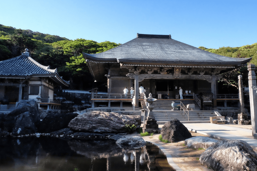
Experience the most beautiful and interesting temples of the Shikoku Pilgrimage in seven days.
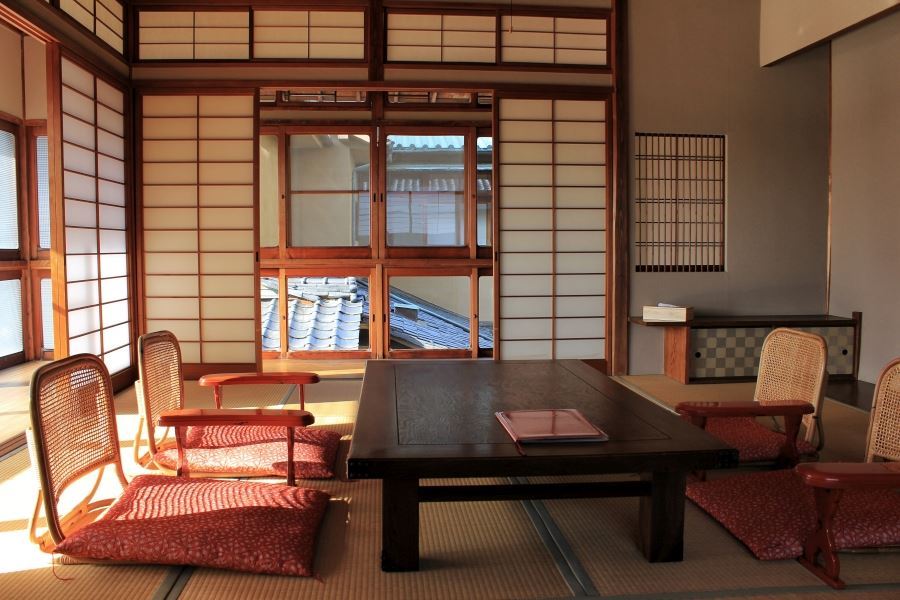
A tour for families or friends, staying in the most characterful kominka and ryokan of Shikoku.
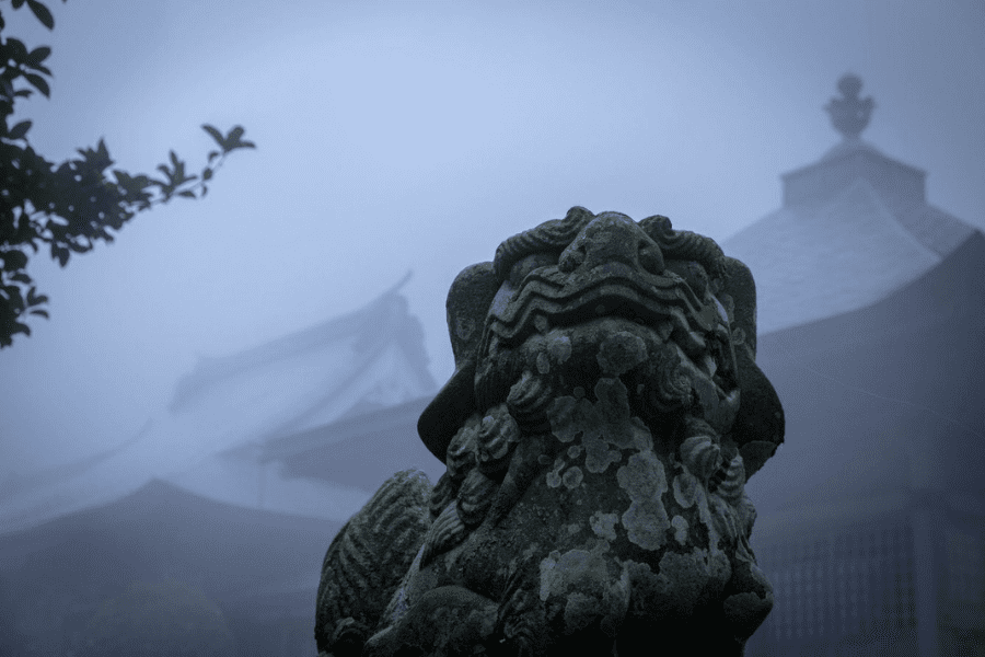
Visit the most beautiful and interesting temples of the Shikoku Pilgrimage and walk the toughest trails.
