Sada Peninsula
Home » Sada Peninsula
Sada Peninsula
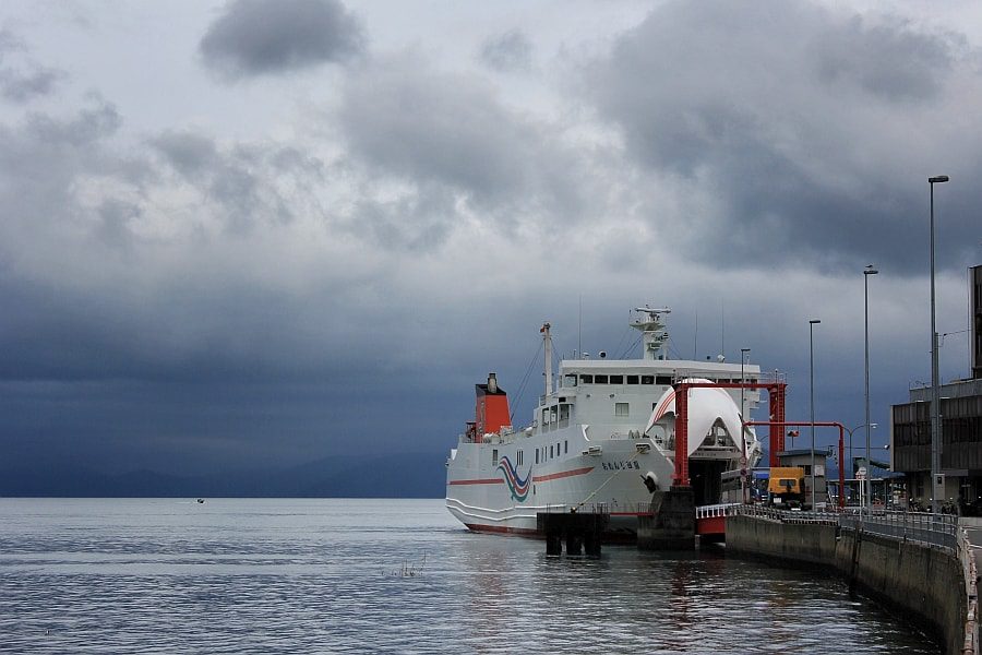
The Sada Peninsula is the westernmost peninsula of Shikoku, jutting out in a straight line to the west-southwest from near Yawatahama. The peninsula is an artefact of the Median Tectonic Line which runs through northern Shikoku. At 40 km it’s the longest peninsula in the Japanese archipelago. At the tip of the peninsula is Cape Sada facing Kyūshu across the Uwa Sea. The Saganoseki Peninsula in northeastern Kyushu is only 16 km away from Cape Sada, and a ferry operates between Misaki Port and Saganoseki Port in Oita Prefecture.
The highly indented ria coastline supports a thriving fishing industry. The mountains that rise abruptly from the coast are covered in forest and citrus groves. National Route 197 runs along the ridge of the peninsula, and various attractions have been created along it including scenic lookouts, lines of cherry blossom, a roadside station and museum, and even a stretch of ridged tarmac called the Melody Line that plays an eery tune inside your car when you drive over it. The various restaurants of the area serve excellent fish, especially chirimen don, fish fry on rice.
The Cape Sada Lighthouse is located at the tip of Cape Sada, and there are promenades and campgrounds in the surrounding area. There’s also the Sadamisaki Battery of the Geyo Fortress, a facility of the Imperial Japanese Army, the remains of which are still preserved.
A copper vein runs through the peninsula, and there have been copper mines there since the Edo period. In the first half of the Meiji period, when the area was liberated from clan control and private sector mining development became possible, the Ryūkoku Copper Mine and other mines were actively developed, and at one time a smelter was also established there. The development was short-lived due to mining pollution, but today these industrial remains can be found in various locations.
The Sada Peninsula is very energetic. It’s home to the Ikata Nuclear Power Plant, contested since it’s located on a major fault. The peninsula has good conditions for wind power generation, and rows of turbines of various sizes stand along the ridge line in the middle of the peninsula. Kamegaike hot spring stands on the south side of the land spit beneath the turbines.
History
Fisherman have found many fossil elephant bones in their nets, suggesting that the land area was once wider than now. The Sada Peninsula has been inhabited since at least the Jōmon period (10,000–300 BC), as evidenced by the discovery of stone tools and earthenware pots. A stone axe from the mid-Yayoi period (300 BC–250 AD) was also found.
Towards the end of the Heian period, the area came under the influence of the Heike clan, some of whom secretly settled here in 1185 after being defeated in the Genpei Wars. In the Edo period, the peninsula belonged to the Uwajima Domain. From 1610 to 1612, the first Uwajima feudal lord, Tomita Nobutaka, gathered farmers from the local area to dig a canal through the narrowest part of the peninsula, but the project was soon cancelled due to insufficient funds. At a time when feudal lords were required to spend every other year in the capital, the peninsula was perceived as a nuisance to navigation. Today a bridge spans Nobutaka’s failed engineering project.
During WWII, Mitsukue Bay was used by the Imperial Japanese Navy for training the ten submariners who took part in the attack on Pearl Harbor, nine of whom died. A memorial to the ten stands in the bay.
In 1977 the Ikata Nuclear Power Plant began operation as the first and only nuclear power plant on the island of Shikoku.
Information
Name in Japanese: 佐田岬
Pronunciation: sadamisaki
Address: Ikata, Nishiuwa District, Ehime 796-0503
Related Tours
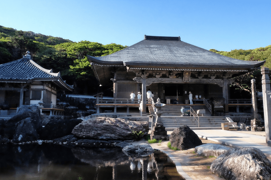
Experience the most beautiful and interesting temples of the Shikoku Pilgrimage in seven days.
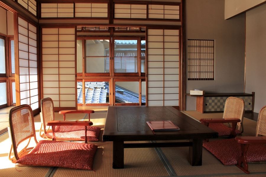
A tour for families or friends, staying in the most characterful kominka and ryokan of Shikoku.
Visit the most beautiful and interesting temples of the Shikoku Pilgrimage and walk the toughest trails.
