Shikoku’s leading tour provider since 2011​
Search

SHIKOKU TOURS

Travel and Adventure

Median Tectonic Line

This active fault system underlies the Tokushima rift valley that can be seen from space.

Median Tectonic Line

The Median Tectonic Line (MTL) is Japan’s longest fault system. It begins close to Tokyo and extends all across western Japan, passing across the top of Shikoku through Tokushima and Matsuyama. It crosses the Naruto Strait between Honshu and Shikoku in the east, and the Hoyo Strait between Shikoku and Kyushu in the west.

The upper part of the Japanese islands emerged at the edge of Eurasian plate 180 million years ago. Fifty million years later, the lower part was created on the southern part of the Yangtze continent. The lower part then rode on the Izanagi plate and crashed into the upper part, forming the Japanese archipelago 70 million years ago. The MTL is where the two parts met.

On the ground in Shikoku, the MTL is a very real presence. Several of the island’s major cities – Matsuyama, Saijo, Niihama, and Tokushima – stand on the flat plain above the tectonic line. The expressway crossing Shikoku from east to west follows the line. And the mountains on either side of the MTL are home to many of the temples of the Shikoku pilgrimage and to some excellent hikes and bike rides.

At the northern edge of the Shikoku Mountain where the MTL passes, the mountains are arranged in a straight line as if cut with a knife. Mt. Ishizuchi, which stands in the middle of these mountains, is an ancient extinct volcano and the highest point in western Japan. But where the Median Tectonic Line is most visible is the valley of the Yoshino River between Miyoshi and Tokushima. This great rift valley gradually widens from west to east. When you travel from Matsuyama to Tokushima, the steep mountains on either side of the valley roll away into the far distance, with the space between them widening towards the sea. Pilgrims on the Henro trail spend the first days of their pilgrimage wending their way around the bottom and sides of this awe-inspiring landscape.

On the other side of the island in Ehime, the MTL has created another amazing feature, the Sadamisaki Peninsula. This highly indented spur of land juts out into the sea for 36 km, following the path of the fault line. The peninsula is a popular Shikoku cycling route.

Wherever you are in northern Shikoku, you’ll see signs of the great seam where the two ancient halves of Japan meet.

Information

Name in Japanese: 中央構造線

Pronunciation: chūō kōzō sen

Address: Higashikatsuchi-364-2 Shozui, Aizumi-cho, Itano-gun, Tokushima 771-1273

Related Tours

7 Days
¥258,000

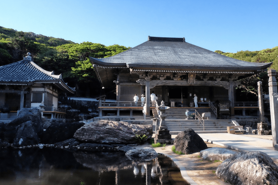
Experience the most beautiful and interesting temples of the Shikoku Pilgrimage in seven days.

View Details
5 Days
¥258,000

Experience the best that Shikoku has to offer in five days.

View Details
8 Days
¥298,000

A tour for families or friends, staying in the most characterful kominka and ryokan of Shikoku.

View Details
7 Days
¥258,000

Visit the most beautiful and interesting temples of the Shikoku Pilgrimage and walk the toughest trails.

View Details

Related Points of Interest